Leanganook Track
An initiation site, Leanganook was the Aboriginal name for Mt Alexander.
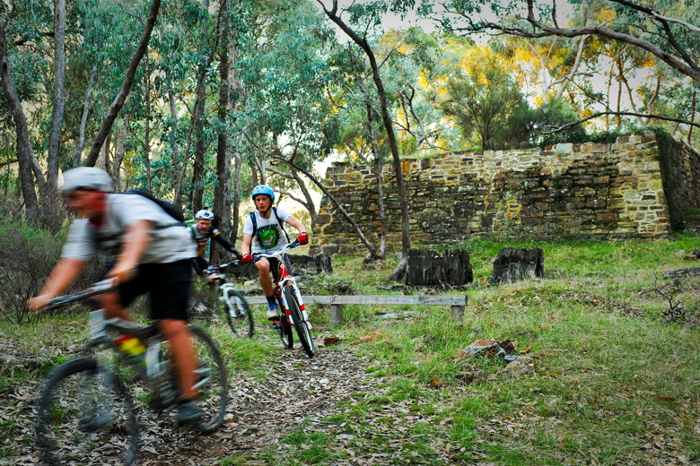
The Leanganook Track completes the Goldfields Track’s linkage of central Victoria’s three ‘golden’ cities – Castlemaine, Bendigo and Ballarat. Gold rush era heritage abounds from Castlemaine and Bendigo’s glorious streetscapes to the massive foundations for the giant Garfield water wheel and the ruins of a Welsh village and its associated slate quarry.
After heading up and over (for walkers) Mt Alexander’s massive granite tors, the track joins the historic Coliban Water main channel. Constructed in the 1870s, this heritage-protected, still operating, engineering gem is regularly punctuated by ‘steam punk’ engineering from artificial bluestone waterfalls to energy ‘dissipators’ and arched tunnels. In its final stage, the track passes through forest dominated by black-trunked ironbarks. Wildflowers and orchids of many hues and varieties line your route in spring and summer. Before not too long you’ll find yourself in Bendigo. Stay awhile and enjoy all that this vibrant and cosmopolitan town has to offer.
Walk the Leanganook Track
- Heritage Park Walk : Castlemaine – (old) Calder Highway (15.5km)
Stroll through the centre of town across a splendid sandstone bridge for a steady climb through forest to the grand foundations of the Garfield Water Wheel. You could make a side trip to the gold rush era Pennyweight Flats Children’s Cemetery (refer Map 24, feature 2). The track goes under the Calder Freeway. - Leanganook Summit Walk : Calder Highway – Sutton Grange Rd (12km)
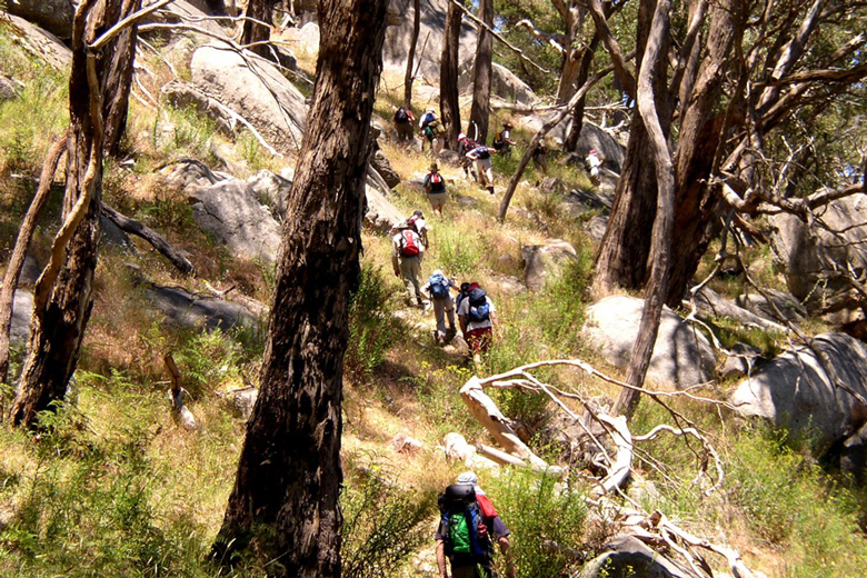
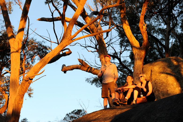
Zig zag steeply upslope enjoying splendid views. The well-known Dog Rocks are just one of many magnificent granite tors set among white-trunked manna gums that you will encounter as you traverse the summit. On the downside track you descend through old growth woodland, a taste of what the countryside once was. - Coliban Water Walk : Sutton Grange Rd – Sandhurst Reservoir (20.5km)
Flat and winding with long views across farmland, the track hugs the contours of the historic Coliban Channel. As well as picturesque boulder-strewn hills, you reach at regular intervals startling sculptural marvels, such as two sets of artificial waterfalls and two long tunnels. Where water goes through walkers must go over. When cresting these climbs over the tunnels there are sections of the GT that cross onto private land. There are spectacular views from the track, but please make sure you respect the landowner and their property and stay on the track. If you venture off the track in this areas you are private farming land. - Bendigo Goldfields Walk : Sandhurst Reservoir – Bendigo Railway Station (12km)
Ironbark trees with their deep, fissured black-bark trunks become increasingly prominent from the reservoir heading north. At Diamond Hill, the flotsam of a dozen mines is evident. From here, the sandy track is lined with wildflowers, leading you into a flora reserve on the edge of town. Take a well-deserved break when you reach the end of the line at Bendigo station. Built in 1862, it’s one of the city’s many magnificent gold rush era heritage features.
Ride the Leanganook Track
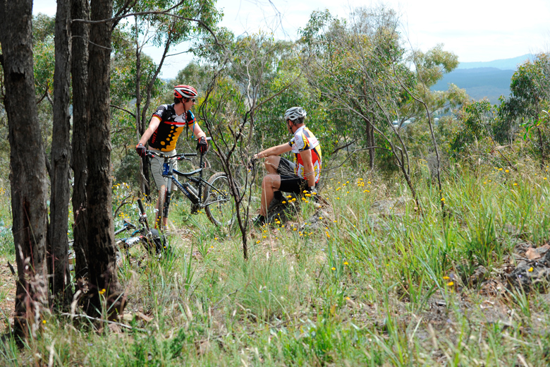
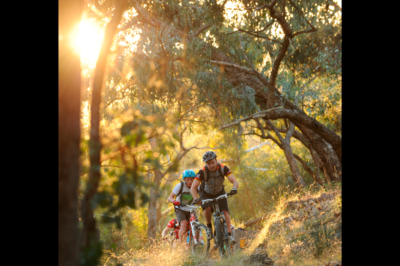
Whilst this may be the least technical leg of your Goldfields Track adventure, it is by no means an easy roll. It’s a great day ride, can be broken into three shorter rides, or use the info below to plan your rest and refuel stops.
- Castlemaine to Harcourt (19km)
As you climb through the Chewton bushlands towards and beyond the imposing Garfield Water Wheel, spare a thought for the tens of thousands of miners working these once denuded gullies in searing heat, without water and with seemingly few rights as human beings. Puts that back pain in perspective huh? The native woodlands of the Castlemaine Diggings National Heritage Park soon give way to pine plantations and the apple orchards of the Harcourt valley. Harcourt is the perfect place to grab a great coffee, something to eat and fill the water bottles before you push on towards Bendigo. - Harcourt to Springs Road (16km)
As you climb back on the bike, whilst the walking route passes over Mount Alexander, riders are taken through Harcourt and around the Mount to rejoin the walking route on the Coliban Main Channel. The route through Harcourt takes you past Henry of Harcourt, drop in for a taste of their real cider. La Larr Ba Gauwa mountain bike park on the west flank of Mount Alexander is a great place for riders to stop in at and check out the 34km of world class trails. Orchards soon give way to grazing country as the old gravity fed water channel heads north. There are two tunnels through this section. Where water goes through riders must go over. When cresting these climbs over the tunnels there are sections of the GT that cross onto private land. There are spectacular views from the track, but please make sure you respect the landowner and their property and stay on the track. If you venture off the track in this areas you are private farming land. Make sure you also stop to take in the extraordinary engineering features along the Coliban Main Channel, many still in operation after 140 years of service. - Springs Road to Bendigo (23km)
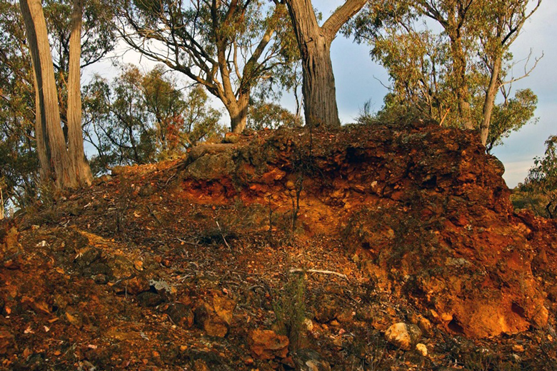
While there are still a few pinches, the big climbs are done, so you can relax a bit. At Sandhurst Reservoir, one of many water storage facilities around Bendigo the track enters the Bendigo Regional Park and follows mostly non-technical access tracks. The route passes endless mine relics and old water channels giving a sense of the intensity of mining operations during the gold rush era. Entry into Bendigo, unlike the Poverty Gully descent into Castlemaine, is at a relaxing pace on generous tracks and trails allowing time to wind down and reflect on your 210km Goldfields Track adventure. At Bendigo Train Station you could jump on a train and head home, or spend some time checking out Bendigo’s many and various attractions, or maybe turn your bike around and… After all the Goldfields Track is great riding in either direction.
* All times are based on walkers and riders with a reasonable level of fitness and experience.
Walking times are based on approximately 4km/hr.
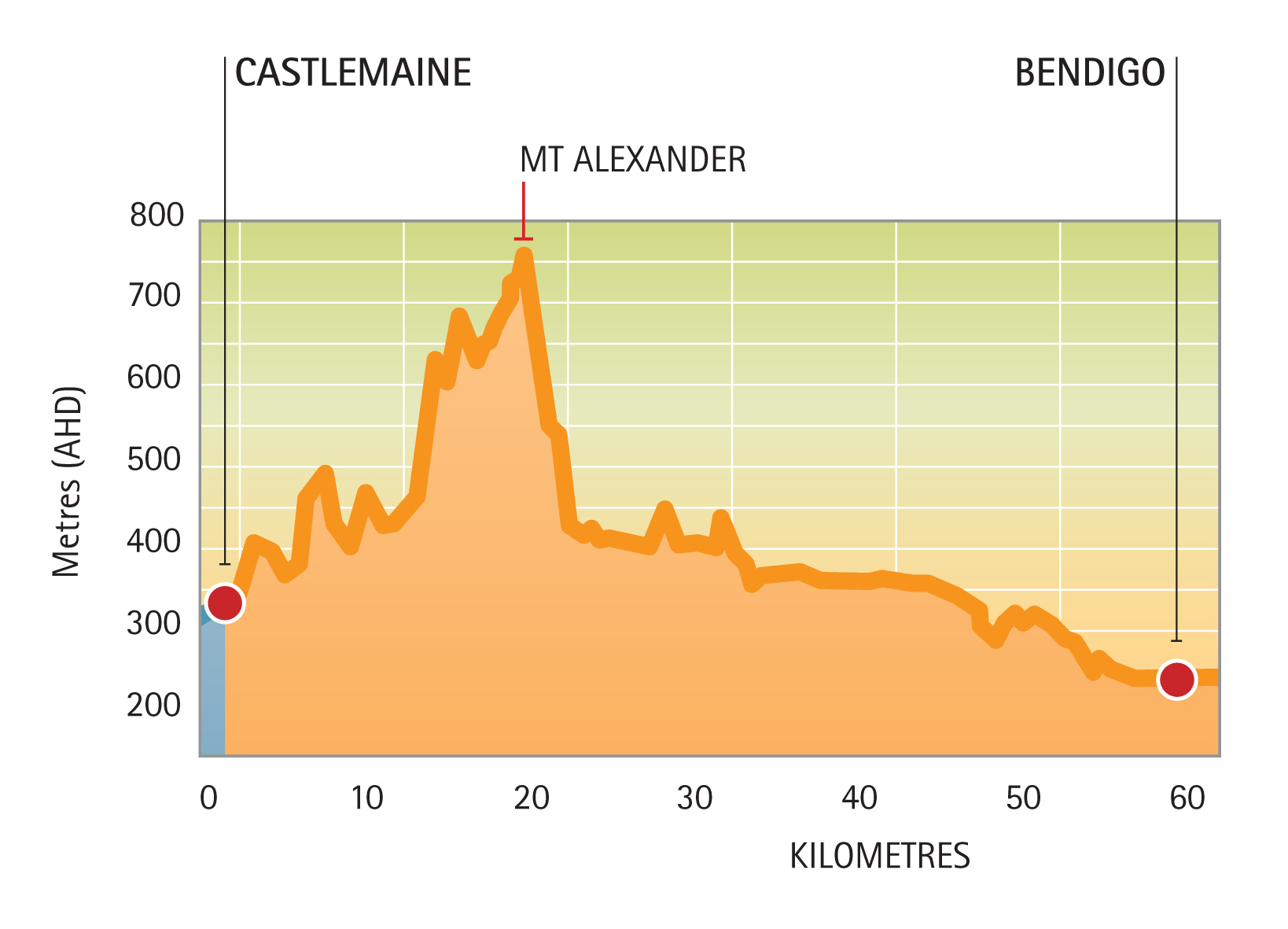
Elevation
As you can see from the elevation map below, there are some climbs and descents to tackle, so riders and walkers alike will need to be reasonably fit and skilled.
